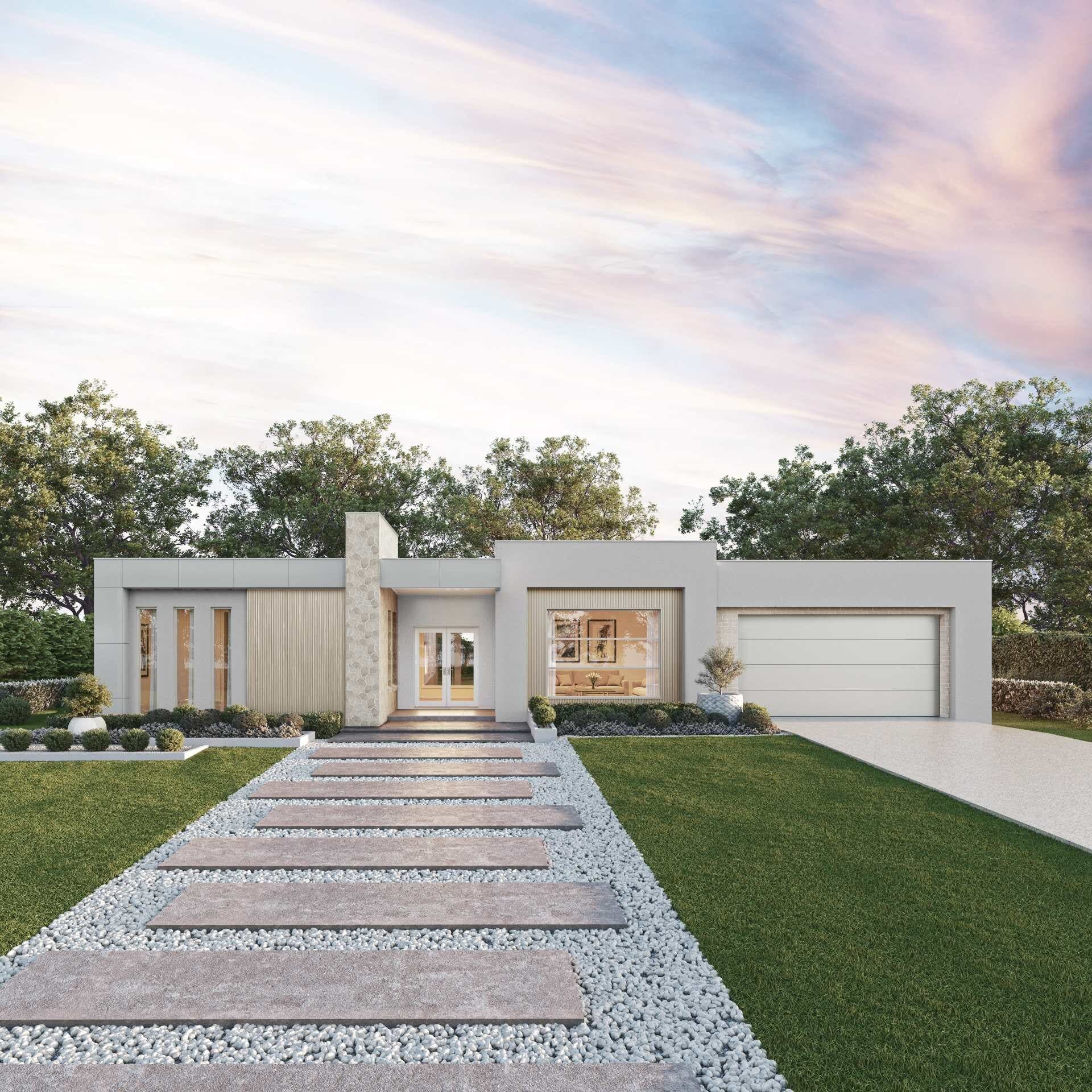
When councils ask for a photomontage, what a visual impact assessment covers, and what makes a photomontage hold up, with the NSW court's policy in plain English.
Quick answer: A photomontage places your proposed building into a real photo of the site, so a council officer, neighbour or court can judge it in its setting. There is no single national standard, so requirements come from each council and, in a dispute, from the court or tribunal. The clearest published standard comes from the NSW Land and Environment Court, whose policy asks for the unaltered photo, the camera details and the survey data behind the image.
What a photomontage is, and how it differs from a render
A 3D render shows a building from a chosen angle in a scene we build. A photomontage starts with a photo of the real site and adds the proposed building at the right scale and camera angle. That is why it suits streetscape and view questions: the street, trees and neighbours in the image are real.
Many projects need both. Renders sell the design, and a photomontage answers "what will this look like from here?". See our 3D photomontage service and 3D streetscapes.
When councils ask for a photomontage
We found no statewide rule in NSW. The trigger depends on the council, so read its DA checklist before you lodge. Two examples:
- Bayside Council: on new developments worth $3 million or more, its lodgement checklist asks for a 3D perspective, plus a photomontage that also shows the neighbouring properties each side, seen along the street.
- Mosman Council: its DA checklist asks for a photomontage for new buildings or other development with an estimated value over $1.5 million, or when directed by council, and for view impacts to be shown on a photomontage where views are an issue.
Thresholds change, so treat these as examples and read the current checklist for your council. Heritage areas, prominent streets and disputed views can prompt the question at any budget. Ask the assessing officer what they want to see before the images are made. In NSW, your guide to the DA process explains the wider steps.
What a visual impact assessment is
A visual impact assessment looks at how much a project changes the views from public and private places, and how sensitive those views are. NSW's technical supplement for large-scale solar projects works it out from the visual magnitude of the project and the sensitivity of each viewpoint.
The assessment is usually written by a planner or landscape consultant, and photomontages are one of its main inputs. That supplement even sets the photography for its projects: a full frame camera, a 50mm lens, 1.5m above the ground, on a tripod with a panoramic head. Other project types have their own requirements, so ask the consultant what applies before anyone visits the site.
What makes a photomontage hold up
The Land and Environment Court of NSW's policy on photomontages and visualisation tools dates from May 2024. It applies to appeals with expert evidence, not to every DA, but it is a useful checklist for any image that may be questioned. In short, it asks for:
- The existing image: an unchanged photo of the location and viewing angle.
- A plan of the camera: a 2D plan or elevation that marks where the camera stood, what it points at, and the light source.
- The overlay: the proposed built envelope and key features over the photo, as a wire frame or block massing model.
- A matching 3D camera: for a photorealistic image, the photo's metadata to create an identical computer-generated camera, the same environmental conditions and matched colour, with the software stated.
- Survey and terrain data: the survey data, the surveyor's name and qualifications, and the source of the topographical data.
- Camera details: which camera, lens and sensor were used, the focal length or field of view, and where the camera stood, including its direction and reduced level.
- Disclosure: the reason for the chosen view and lens, whether images were stitched together, and any editing such as contrast, saturation or tilt shift.
If a matter is heading to the Victorian Civil and Administrative Tribunal, its practice note on expert evidence applies, so talk to your planner or lawyer about what the images need to show.
What to send us
- Your architectural drawings, in any format.
- The site address.
- Any site photos you have, and where each was taken. If professional photography is needed, we can coordinate it.
- A survey file if you have one, such as DWG or DXF.
- Exactly what the council, consultant or court has asked for.
- The views you need, such as street level, aerial or from a neighbouring property.
Common mistakes
- A building that doesn't match the drawings. Planners compare them, so use the final plans. Our council submission tips cover this.
- No before image. Show the existing street and the proposed building side by side, so everyone sees the change.
- Lighting that does not match the photo. The building looks pasted on, and that invites questions.
- A lens nobody can explain. A wider lens makes a building look further away, so expect to be asked why it was chosen.
- Leaving it late. Allow time for photos, drafts and any changes before your lodgement date.
What we do, and what we do not
We make photomontages, streetscapes and renders for development applications and council submissions: your design placed into real site photos at the right scale and camera angle, from street level, aerial or neighbouring viewpoints. We also work on government projects. We do not write planning assessments or give planning or legal advice. That stays with your planner, consultant or lawyer.
Frequently asked questions
Does every development application need a photomontage?
No. Councils differ, and so do projects. Some councils set a trigger such as the project's value, and others ask when views or the streetscape are an issue, so check your council's DA checklist.
Who prepares a visual impact assessment?
Usually a planner or landscape consultant, who uses photomontages as evidence. We make the images they need; we do not write the assessment.
What lens should a DA photomontage use?
There is no single national rule. The NSW Land and Environment Court asks you to state the lens and explain why it was chosen, and NSW's technical supplement for large-scale solar sets a 50mm lens. Ask your planner what applies to your project.
Do you need a survey to make a photomontage?
For a court appeal in NSW, the policy asks for the survey data and the surveyor's name and qualifications. Council requirements vary, so ask what yours wants before the images are made.
How long should I allow for photomontages before lodging a DA?
Most of our photomontage projects are delivered within 5 business days of receiving everything we need. Projects with several viewpoints can take longer, so we confirm the timing with your quote.
Can a DA photomontage be reused for marketing?
Often, yes, once the design is final. The same 3D model can also produce renders for your website, brochures and sales campaign.
Sources
- Land and Environment Court of NSW: Policy: Use of Photomontages and Visualisation Tools, May 2024.
- NSW Department of Planning and Environment: Technical Supplement: Landscape and Visual Impact Assessment, for large-scale solar.
- Bayside Council: Development Application Lodgement Checklist.
- Mosman Council: DA Checklist and Applicant Declaration.
- NSW Planning: your guide to the DA process.
- Victorian Civil and Administrative Tribunal: Practice Note PNVCAT2, Expert Evidence.
General information only, not planning or legal advice. Sources checked November 2026; requirements change, so check the current version before you rely on them.
Ready to get started?
Get a Quote in 60 Minutes
Talk to our team about your project. We respond within 60 minutes during business hours.
Get a Free Quote